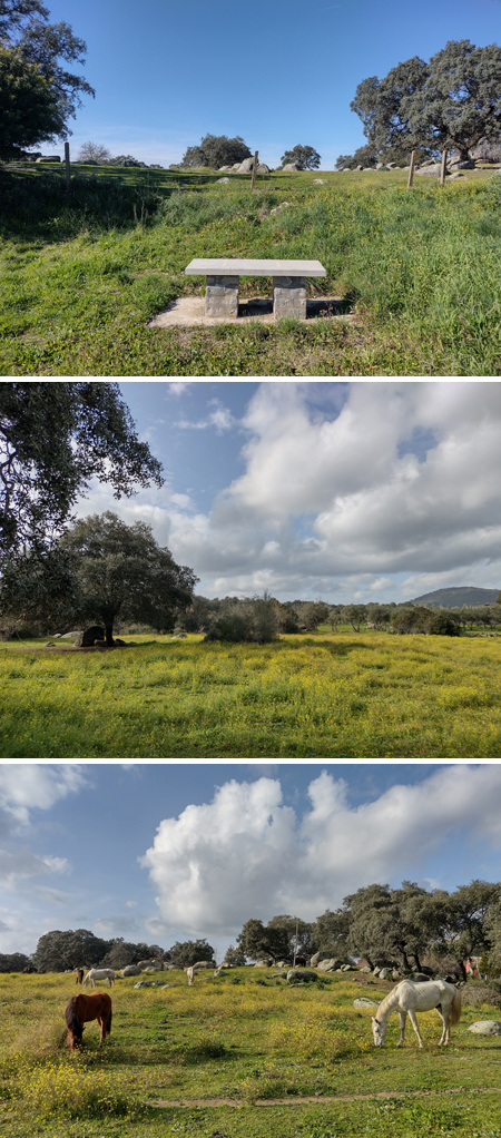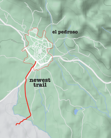
Even easier than the Mirador de Alonso, this walking route is so new that it doesn’t have an official name yet! Still under construction on the day after Thanksgiving, we were surprised at all the animals we saw along the way: falcons, storks, sheep, friendly dogs & curious cattle… an easy way to connect with nature if you happen to be in the area.
Route basics
- Type of trail: Linear.
- Total length: 3.6 km, or 2.2 mi.
- Max altitude difference: almost completely level.
- Lowest to highest altitude: 395-400 m, or 1296-1312 ft.
- Our walk time: 30 min each way, 1 hr total.
We’re still not sure if this route will open to the public officially, but Rafa noticed that gravel had been laid down here while looking for fallen leaves to decorate for Thanksgiving. As we walked along, we saw several stone benches waiting to be assembled. But everything else was ready to go. A good place to begin this walk is at a roundabout on the edge of town… look for the Taberna El Cruce, & you’re in the right spot! Go the direction of the sign pointing to Cantillana & Sevilla.
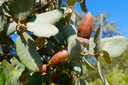
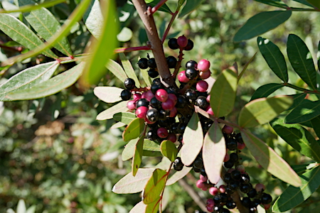
Lots of greenery appears during the first part of the walk as you leave town, but berries & blossoms are dependant on the season. Late November proved to be perfect as all the acorns had yet to fall from oak trees. The trail hugs the road for this first section. But with a wide shoulder, the few vehicles that pass pose no problem:
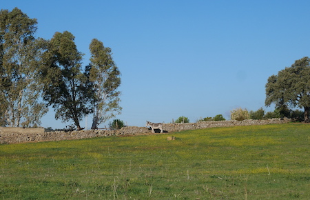
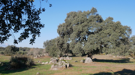
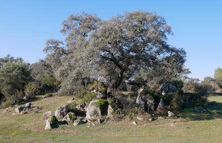
Fenced-in farms soon appear on the right-hand side. These offer excellent examples of the rock-covered terrain so characteristic of El Pedroso… a town whose name translates to “the stony spot”. Granite outcrops are part of a batholith: a large mass of igneous rock formed underground that eventually rose to the surface. Stone clusters provide the perfect shelter for acorns, so it’s common to see large trees sprouting from a rocky base. So gorgeous.
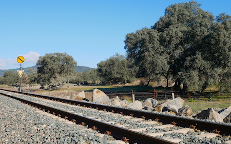
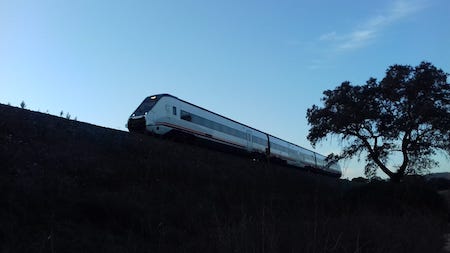
The town-kept section ends here, so be careful crossing the road! Never lots of traffic along the A-432, but keep eyes & ears open for the occasional truck. This stretch of the walk is on a dirt & gravel road used only for local access to private farms… no general traffic comes along this route. Train tracks sit directly to the left, & if you’re lucky you might see one zoom by:
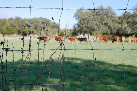
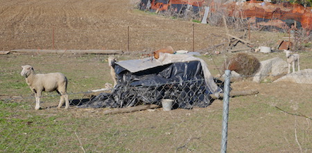
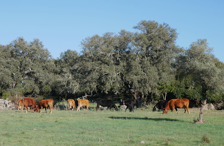
The rest of the walk passes farms with sheep, & we got lucky enough to see a few lambs. Dogs tend to do their job & bark, but soon quiet down as you chat with them… they’re fenced inside, so no need to worry. Cowbells alerted us to the presence of a couple small herds of cattle that were out grazing:
When the road comes to an end, a narrower dirt path leads to the right. Surrounded by trees & farms, a small stream winds through. However, due to the lack of rain this year, there was no water to be found in the Arroyo de la Madroñera. Also, I wouldn’t recommend this section if wearing only sneakers after a heavy rain, but otherwise the path is just fine. After a short stint, the path dead-ends at the gate of a private farm. You’ve reached the end of the road. Literally!
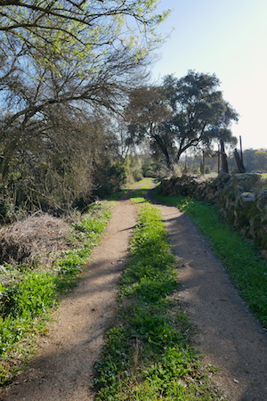
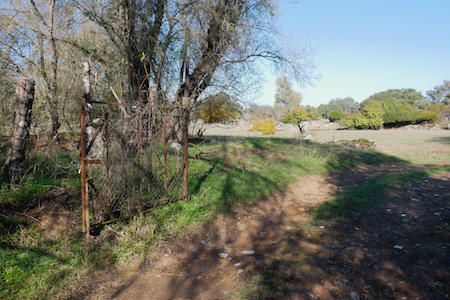
The return route is the same way you came; no surprises. Anyone can do this easy walk. You might want to stop by Nortecaza before reaching town to pick up some local cured meats, or wet your whistle in the beautiful patio at Taberna El Cruce. I’m sure we’ll be doing the 12 km walk soon, so stay tuned!
Update (Feb 2024): The first section of this walk now has an official name, Sendero de Los Alamos… which conveniently takes you to the mesón of the same name. Benches have been built along the way, & if you’re lucky, the horses will be out grazing. Los Alamos gets very busy on the weekends with local tourist, but with good reason. The food is spectacular! We love the caña de lomo (melts in your mouth like butter), the venison stew (a bit oily but very tender) & that cheese. Yum! It’s easy to arrive, even if you don’t come to El Pedroso by car.
